Swakopmund to Etosha: Damaraland Route or All Tar?
There are two ways from Swakopmund to Etosha. The all-tar route runs inland via Omaruru, Otjiwarongo and Outjo to Andersson Gate. The scenic route runs via Henties Bay, Uis and Khorixas through Damaraland, with long gravel sections. Forum travellers report about six to seven hours or more either way, and Etosha’s gates close at sunset, so some break the journey with a night in Damaraland.
“Which way to Etosha?” has been asked on the TripAdvisor Namibia forum for more than fifteen years, and the answers keep changing because the roads do. The biggest change is recent: the road from Henties Bay to Uis was being tarred in 2025. Here are the two families of route, what each involves, and how to reach Etosha before the gate closes.
The two routes, side by side
Road numbers and surfaces from Wikipedia’s pages on the C33 (“a tarred road”, 196 km from Karibib via Omaruru and Kalkfeld to Otjiwarongo), the C38 (“tarred between Otjiwarongo and Okaukuejo”, via Outjo) and the C39 (Khorixas to Outjo, “tarred on this section”). Times from the forum threads linked below.
The all-tar answer on the forum is simple: “All tarred road is Swakopmund Omaruru Otjiwarongo Outjo Okakuejo”, and “With a sedan car stay on tar roads” (TripAdvisor). A shortcut on the gravel M63 is sometimes suggested; one reply described it as “the only bit that isn’t tarred” on that route (TripAdvisor).
What changed on the Henties Bay–Uis road
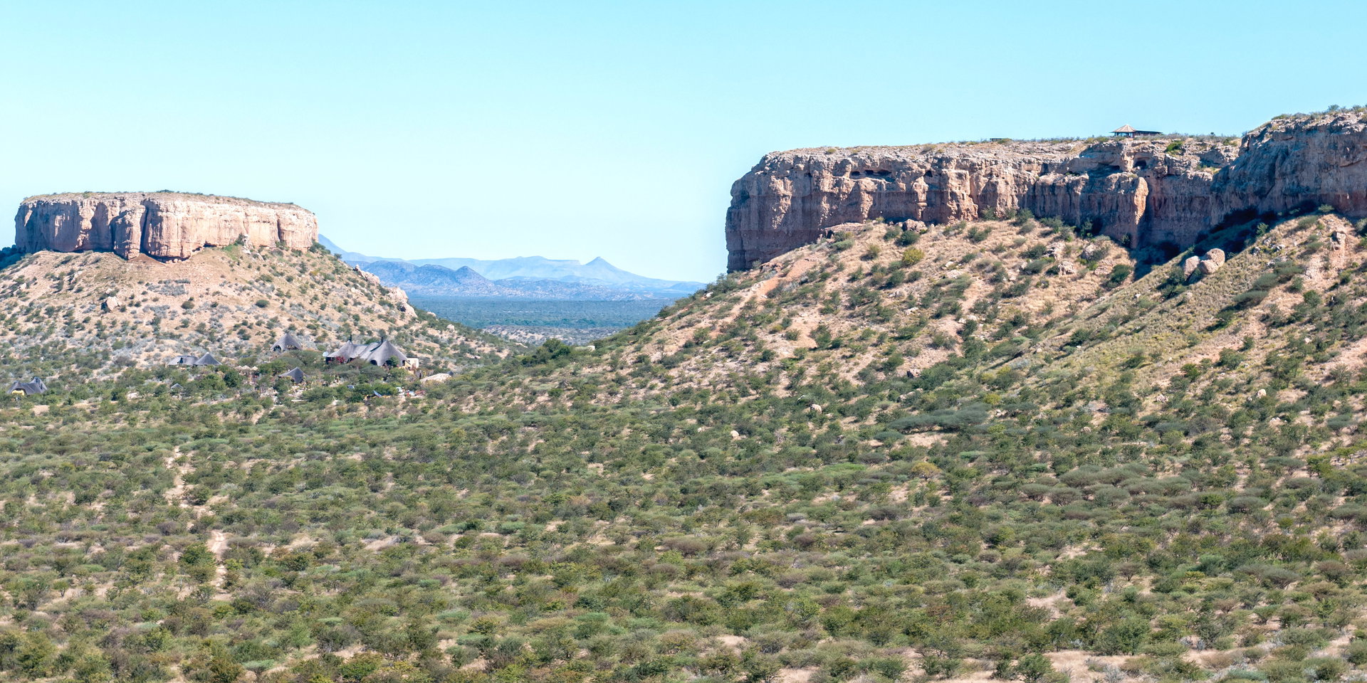
In December 2025 the Namibian Sun reported that the upgrade of the Henties Bay–Uis road was “nearing completion”, with “more than two-thirds of the former gravel route now tarred and open to traffic” (Namibian Sun). That is the start of the C35, which Wikipedia describes as running 620 km from Henties Bay via Uis, Khorixas and Kamanjab to Ruacana (Wikipedia). Check the current status before you go, because most forum answers and trip reports predate the work.
Beyond Uis the Damaraland route is still largely gravel. A traveller who drove Swakopmund to Twyfelfontein in March 2025 logged 423 km in 7 hours, 268 km of it on gravel (Red Penguin). An older forum answer gives Henties Bay to Uis as “a bit less then 2 hrs” and Uis to Khorixas as “another 2 hrs” (TripAdvisor).
One day, or a night on the way
Opinion splits. One reply says “there is no real need to make a night stop anywhere” (TripAdvisor); another traveller who did Walvis Bay to Etosha in one go wrote that “A one-day plan would have been filled with high anxiety” (TripAdvisor). From Spitzkoppe to Okaukuejo one poster estimated “normal driving with a stop or two” at 7 hours (TripAdvisor).
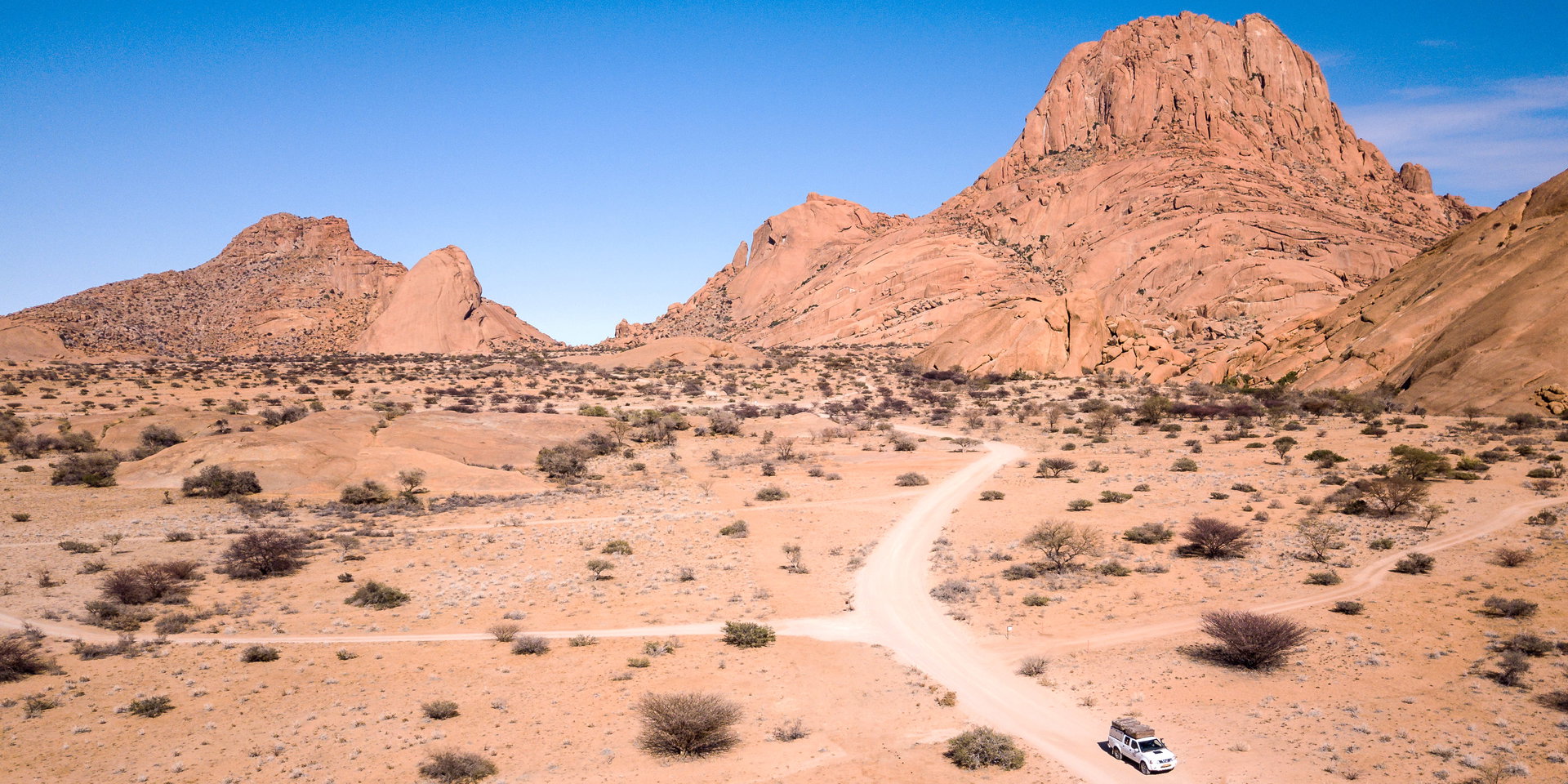
If you take the Damaraland route, the sights along it are the reason to slow down. Twyfelfontein and the Organ Pipes lie west of Khorixas, Spitzkoppe is a common first stop out of Swakopmund, and a forum poster planning the stretch was warned that “Uis to Palmwag is a long drive” (TripAdvisor). Our guides to whether Damaraland is worth it and Spitzkoppe help you decide how long to stay.
Fuel and the sunset gate
On the Damaraland route, Uis has “a petrol station and a surprisingly well-equipped supermarket” according to Wikivoyage, and a forum poster called it “a nice place there to stop and get fuel” (TripAdvisor). The March 2025 traveller filled up at Khorixas. On the all-tar route, Travel News Namibia notes fuel at Etosha Trading Post, about 6.5 km before Andersson Gate (Travel News Namibia).
The deadline that matters is the gate. “All of Etosha’s border gates open at sunrise and close at sunset”, and the camp gates inside the park follow the same times (Travel News Namibia). A forum poster’s advice was to arrive “at least an hour before sunset” (TripAdvisor). Our guide to self-driving in Etosha covers gate times and fees, and our page on night driving and your rental cover explains why you should not push on after dark.
Coming back south
The same choices apply in reverse. Forum travellers have done Okaukuejo to Swakopmund in a day on both routes; the all-tar route via the B1 is the longest at “around 650 km” (TripAdvisor). If you are going north into the Kaokoveld instead, see our page on Damaraland and the Kaokoveld.
Frequently asked questions
What is the fastest route from Swakopmund to Etosha?
Forum travellers usually recommend the tarred route via Omaruru, Otjiwarongo and Outjo on the C33 and C38, reporting about six hours with a fuel stop. A gravel shortcut on the M63 is sometimes used.
Is the road from Swakopmund to Etosha tarred?
The route via Omaruru, Otjiwarongo and Outjo is tarred all the way. The Damaraland route via Uis and Khorixas is partly gravel, although the Henties Bay to Uis section was more than two-thirds tarred by December 2025.
Can I drive from Swakopmund to Etosha in one day?
Yes, on either route, and forum travellers have done it in six to eight hours. You must reach the gate before sunset, so leave early. Many travellers break the Damaraland route with a night near Twyfelfontein or Spitzkoppe.
Where can I refuel between Swakopmund and Etosha?
On the Damaraland route, Uis and Khorixas both have fuel according to traveller reports and Wikivoyage. On the southern approach, Etosha Trading Post sells fuel about 6.5 km before Andersson Gate.
Is the Damaraland route to Etosha suitable for a sedan?
It includes long gravel sections beyond Uis. A forum reply advised sedan drivers to stay on the tarred route via Omaruru and Outjo, so check your rental conditions before taking a sedan through Damaraland.
What time does the Etosha gate close?
Etosha’s gates open at sunrise and close at sunset, so the time changes through the year. Plan to arrive at least an hour before sunset.
Desert Tracks plans Namibia self-drive safaris from Swakopmund. Send us your travel dates and we will help you plan the drive from the coast to Etosha. Get in touch with Desert Tracks.