The Skeleton Coast: access, permits and what is where
The Skeleton Coast is two places. South of the Ugab river it is open coast you can drive freely, and that is where the photographed wrecks are. North of the Ugab gate it is a national park needing a permit, and the far north is concession-only.
People arrive expecting one road lined with shipwrecks and find something stranger and more administrative than that. The coast is divided into zones with different rules, the wrecks are scattered over hundreds of kilometres, and the northern third cannot be driven at all. Knowing which section you are actually going to is the difference between a good day and a wasted one.
The coast in three sections
Permits, and the rule people miss
Entry to the park section requires a permit, and transit permits carry conditions on when you may pass through the gates. Gate hours and transit rules change, so confirm them when the permit is issued rather than trusting a blog, including this one. Arriving at a gate late is the commonest way to lose a day here.
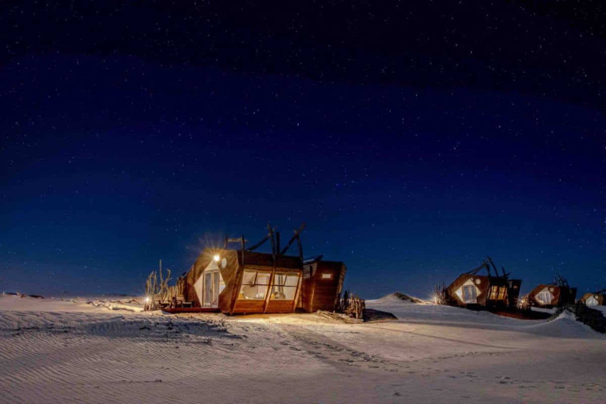
Accommodation inside the park is limited to the Namibia Wildlife Resorts camps at Terrace Bay and Torra Bay, and both fill early in the dry season. Outside those, there is nothing between the gate and the next town.
Fuel is the real constraint, not the road. Fill at Henties Bay and again wherever the next pump appears, and do not calculate on reaching the following one. Distances here are long and empty in a way the map does not convey.
What is actually worth stopping for
- Cape Cross. One of the largest Cape fur seal colonies on the continent, and you smell it before you see it.
- The Zeila wreck south of Henties Bay, which is the one in most photographs and sits in the open section.
- The salt roads north of the Ugab, which are a surface unlike anything else you will drive.
- Terrace Bay, if only to understand what a settlement looks like when there is no reason for it to exist.
The rivers running west through this coast are also where Namibia keeps its strangest wildlife. The Desert Lion Conservation Trust works along the Hoanib, Ugab, Barab and Obab, and the desert-adapted lions are the reason the far north is a concession rather than a road.
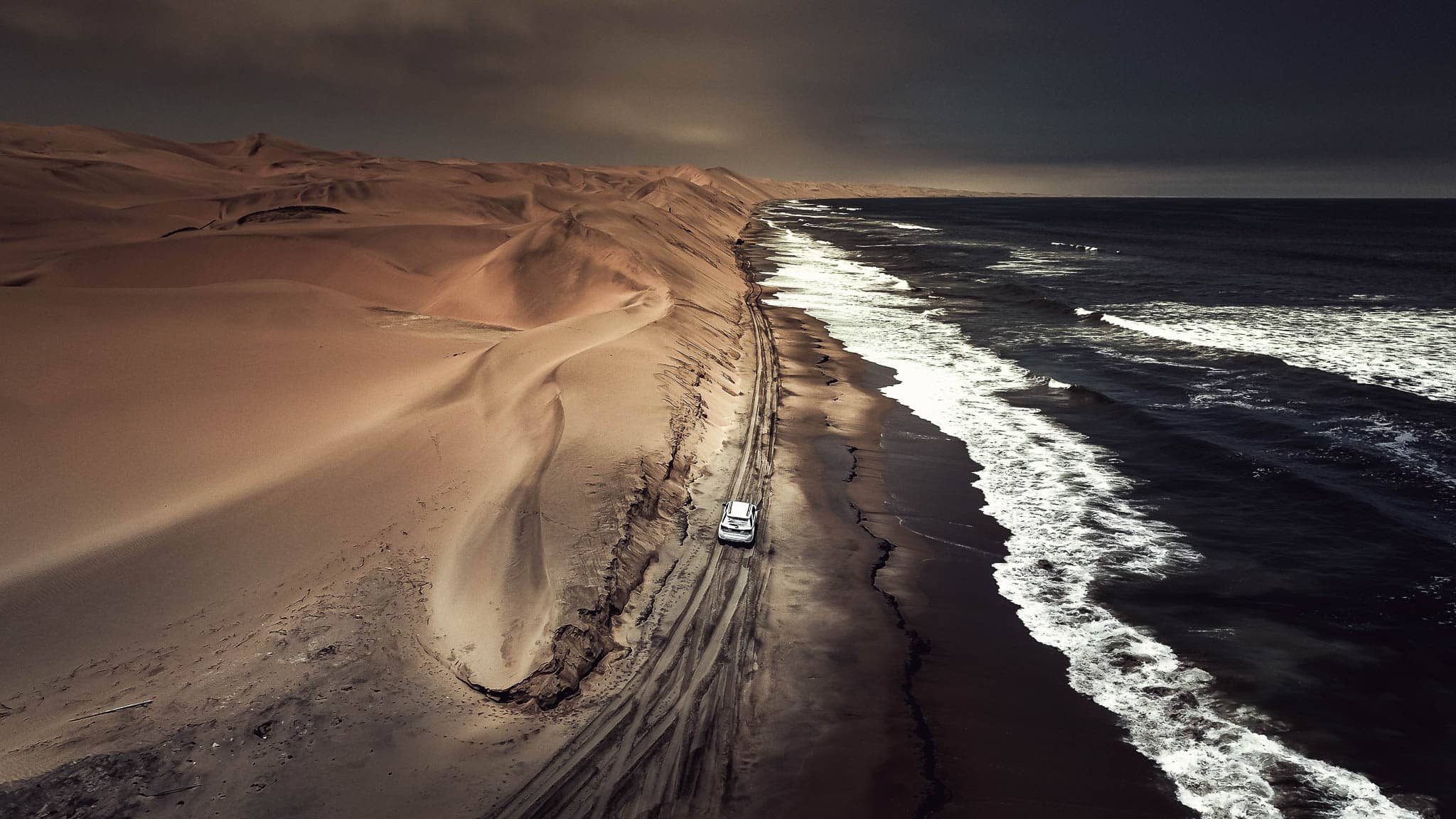
Plan the coast as part of a longer route rather than a detour. What the roads are actually like covers the salt surfaces, and our 14-day coast to Caprivi safari runs the open section properly before turning inland.
There is no through road up the entire coast. If your plan is to drive from Swakopmund to the Kunene along the sea, it cannot be done. The northern third is closed to self-drive traffic. Reaching it means flying in, which is what our 10-day highlights of Namibia fly-in is built around: Shipwreck on the Skeleton Coast and the Hoanib valley alongside Sossusvlei and Onguma.
Frequently asked questions
Can you drive the Skeleton Coast?
The section south of the Ugab is open to anyone. The park north of it needs a permit, and the far northern third is concession-only with no self-drive access.
Do you need a permit for the Skeleton Coast?
Yes, for the park section north of the Ugab gate. Transit permits carry conditions on gate times, so confirm them when the permit is issued.
Where are the Skeleton Coast shipwrecks?
Most of the photographed wrecks, including the Zeila, are in the open section south of the Ugab near Henties Bay rather than inside the park.
Is there fuel on the Skeleton Coast?
Very little. Fill at Henties Bay and at every pump after it. Do not plan on reaching the next one with what is in the tank.
Where can you stay inside the Skeleton Coast Park?
At the Namibia Wildlife Resorts camps at Terrace Bay and Torra Bay. Both fill early in the dry season and there is nothing else.
Can you see desert lions on the Skeleton Coast?
Only in the northern concession areas, which are reached by air. The lions range along the Hoanib and other westward rivers.
We are on this coast constantly and will tell you plainly when a Skeleton Coast leg is not worth the days it costs. For a lot of itineraries it is not.