Surfing Namibia at Skeleton Bay: A Surfer’s Adventure
Skeleton Bay is a sand-bottom left-hand point break on the Pelican Point spit near Walvis Bay. It rides close to two kilometres when it works, needs a big south-west groundswell, and is an expert-only wave., the dry winter. Rainfall is near zero, wildlife concentrates at Etosha’s waterholes, and roads are at their best. July and August are the peak — and the coldest, near 6 °C at dawn.
Very few waves have a discovery date. Skeleton Bay does. In 2007 a software professional in California named Brian Gable spent more than fifty hours staring at satellite imagery for a Surfing Magazine competition, and picked out a thin finger of sand on the Namibian coast where the swell lines bent in a way that looked impossible. The following July an expedition went to check.
What Brian Gable actually found
Gable won Surfing Magazine’s Google Earth Challenge and travelled to Namibia in July 2008 with his cousin Mike and the professionals Cory Lopez, Pete Mendia, Hank Gaskell, Mitch Coleborn and Evan Slater. Footage of Lopez disappearing into a barrel that simply kept going is what put the place on the map. It is worth saying that local knowledge came first: divers, kayakers and bodyboarders had been watching the spit for years before the cameras arrived.
The wave itself is a long left-hander over sand. Surfer ranks it among the longest rideable waves on earth, behind Chicama in Peru. The best-documented ride belongs to Koa Smith, who on 5 July 2018 linked eight barrels on one wave for around two minutes and more than 1.5 kilometres.
The name is misleading
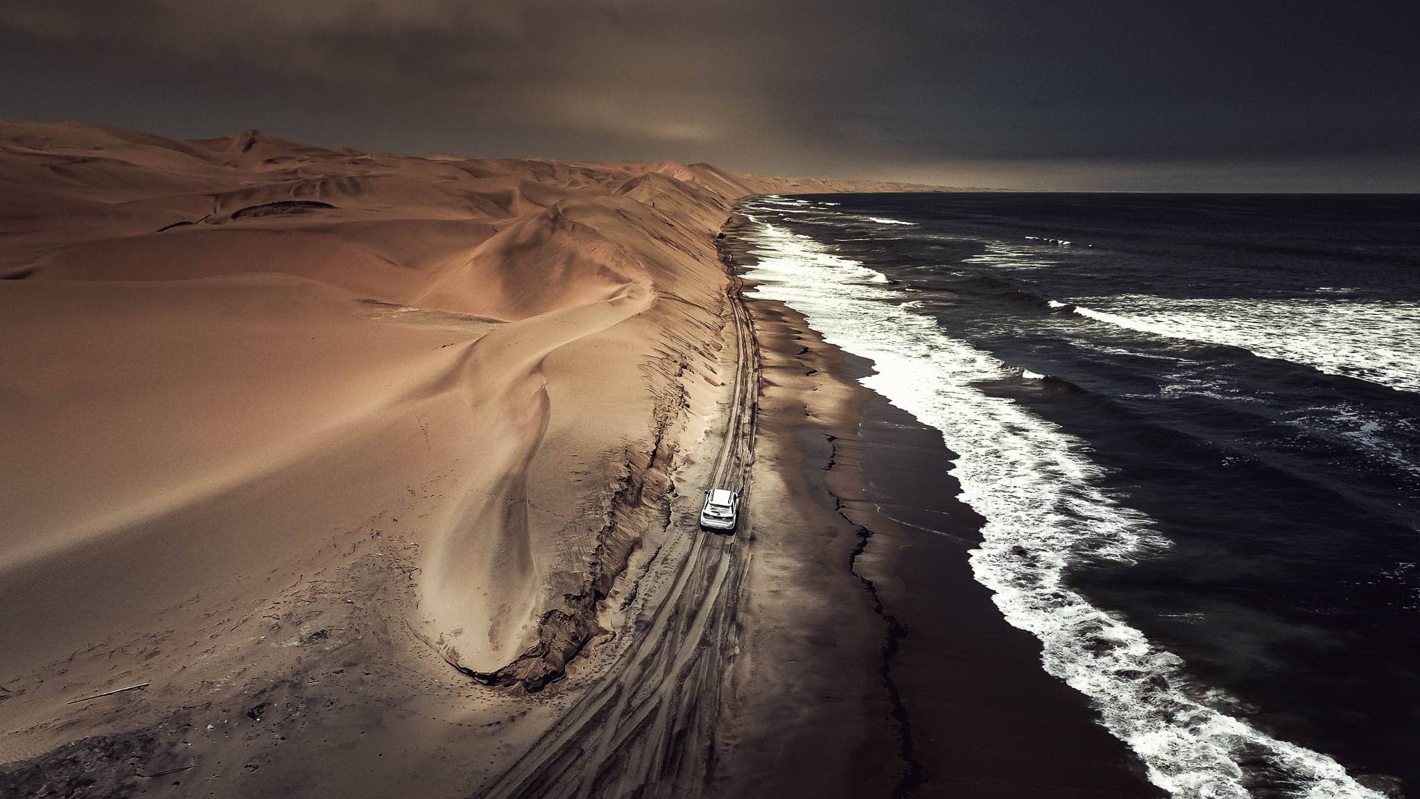
Skeleton Bay is not in the Skeleton Coast. The Ministry of Environment, Forestry and Tourism defines Skeleton Coast Park as the stretch from the Ugab River north for 500km to the Kunene, hundreds of kilometres from the break. The surf spot sits on the Pelican Point spit at Walvis Bay, well to the south, and is also known as Donkey Bay.
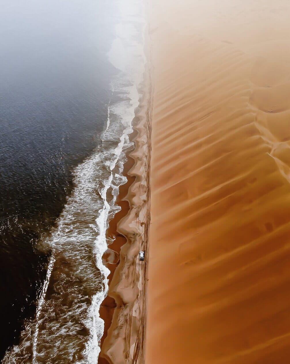
Sources disagree on which protected area it falls in and on how far it is from Walvis Bay, with published distances ranging from eight to thirty kilometres. Rather than repeat a number that cannot be pinned down, treat it as a soft-sand drive out along the spit that needs a capable 4×4, and check current access locally before setting out.
When it breaks, and how rarely
This is not a wave to learn on. Surf journalism is consistent about the hazards: long hold-downs, a remote break with no rescue cover, enough power to snap boards, and a walk of well over a kilometre back up the point into the wind between rides.
Cold water, and a wave that is changing
The Benguela Current keeps the water cold all year, and the coast fogged in for much of it. Published sea temperatures vary by source but agree on the substance: a 4/3mm wetsuit with hood, boots and gloves is the normal set-up, even in the middle of the season.
The less comfortable part is that the wave has been degrading. Independent surf publications have documented the point breaking into sections rather than running as one continuous barrel. The cause given is sand: roughly a million cubic metres moves along the bay each year, and the powerful west swells that once scoured it away have become less reliable. Nothing in the reporting attributes this to dredging or harbour works. It may also be cyclical, since the spit itself only took its present form around the turn of the century.
If Skeleton Bay is not working
It usually is not, and that is worth planning for. The established breaks near Swakopmund carry the season when the spit is flat: Guns, a consistent left-hand reef that was Namibia’s best-known wave before 2008 and handles bigger swell than Skeleton Bay; and Wreck, which is more forgiving and works best at high tide.
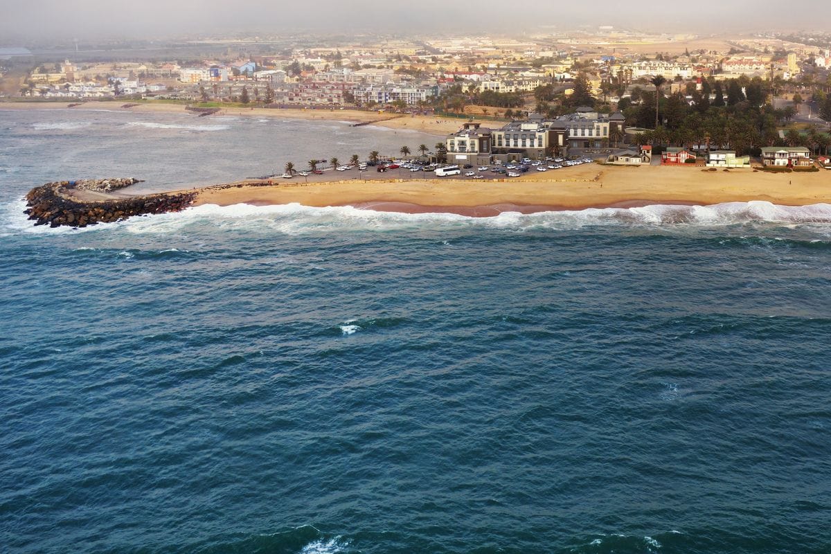
Most people surfing Namibia are doing it as one part of a longer coastal trip. A coast-to-Caprivi route puts Walvis Bay and Swakopmund at the start and the wetlands of the north-east at the end, and there is plenty to fill a flat spell — the adventure operators around Swakopmund run dune and desert trips within minutes of the surf. Getting to any of it means gravel, so it is worth knowing what Namibian roads are actually like before you drive the spit.
Do not book flights to a date. Watch the forecast, keep the trip flexible, and treat any Skeleton Bay session as a bonus on top of a coastal itinerary that stands up on its own.
Frequently asked questions
Where exactly is Skeleton Bay?
On the sand spit that runs out to Pelican Point, near Walvis Bay. Despite the name it is not inside the Skeleton Coast National Park, which the Ministry of Environment, Forestry and Tourism defines as running from the Ugab River north to the Kunene.
How long is the wave at Skeleton Bay?
Reports cluster around two kilometres, which places it among the longest rideable waves in the world. In July 2018 Koa Smith rode a single wave through eight barrels for roughly two minutes.
When does Skeleton Bay work?
The southern-hemisphere winter, most often May to September, and only on a large long-period south-west groundswell with an offshore north-easterly. Working days are rare and usually last two to three days at a time.
Can a beginner surf Skeleton Bay?
No. Surf journalism is consistent that this is an expert-only wave: heavy hold-downs, a remote location with no rescue cover, board-breaking power and a long walk back up the point between rides.
Is the wave getting worse?
Independent surf publications report visible degradation, attributed to sand building up along the point rather than to any harbour works. Roughly a million cubic metres of sand moves along the bay each year, and the big west swells that once stripped it away have become less reliable.
What wetsuit do I need?
Cold water all year because of the Benguela Current. A 4/3mm suit with hood, boots and gloves is the commonly recommended set-up.
Desert Tracks plans self-drive and guided journeys along the Namibian coast. Tell us what you want to see and we will build the route around it. Tell us what you want out of the trip rather than when you can travel, and we will tell you honestly whether your dates fit — including when the answer is that they do not. Get in touch with Desert Tracks.