Fish River Canyon: Hiking It, and Seeing It
The Fish River Hiking Trail is open 1 May to 15 September, takes four to five days, and needs a minimum group of three, a minimum age of 12 and a medical certificate. In 2026 flooding closed it from late June until 17 July., the dry winter. Rainfall is near zero, wildlife concentrates at Etosha’s waterholes, and roads are at their best. July and August are the peak — and the coldest, near 6 °C at dawn.
The southern Namibian canyon is one of those places whose reputation arrives before the facts do. It is enormous, it is genuinely hard to hike, and almost every number attached to it — length, depth, the trail distance, its rank among the world’s canyons — is contested. Here is what actually holds up, and what happened to the 2026 season.
The claim that does not hold up
You will read everywhere that this is the second largest canyon in the world after the Grand Canyon. Namibia’s own submission to the UNESCO tentative list says it. What none of those sources say is what is being measured — area, volume, length or depth. On depth, the only metric where comparison is straightforward, the canyon runs to around 550 metres, and independently compiled depth rankings place it far down the list; Nepal’s Kali Gandaki Gorge is roughly ten times deeper.
The measurements themselves vary by source and by which section is being described. Length is given as about 160 or 161 kilometres, but Namibia’s UNESCO submission measures only the lower canyon along the river course at 56 kilometres. Width is commonly quoted at up to 27 kilometres; the same submission gives five kilometres for the lower canyon and eight for the upper. Depth splits the same way — between 460 and 550 metres in the lower canyon, but only 160 to 190 metres in the upper. None of which makes it less impressive. It just means a single number is meaningless without saying which part you mean.
The trail, and what it demands
Namibia Wildlife Resorts operates the trail and issues the permits, and its own listing gives the season as 1 May to 15 September. That window exists because of heat: outside it, temperatures on the canyon floor make the hike genuinely dangerous.
There is no resupply. Hikers drink from the river and purify it. Nights in June and July can drop to 5°C and below while days are extreme, which is an unpleasant combination to carry clothing for. Anyone who cannot continue comes out by helicopter.
What happened in 2026
The 2026 season was disrupted twice, and it is worth understanding why, because the mechanism will recur. Both times the cause was upstream dams. On 1 May 2026 NamWater opened the sluice gates at Naute Dam after heavy catchment rain, and NWR postponed the start of the season by about a week.
The serious event came in late June. Naute Dam reached 116.9% of capacity and Neckartal 105.7%, forcing releases into the river while people were on the trail. Ninety-six hikers in nine groups, some of them schoolchildren, were caught by rising water. Ten walked out on the Sunday, eighteen more reached exits independently on the Monday, and the last 28 were airlifted by five in the afternoon. Every one of them came out uninjured. The trail reopened on 17 July 2026, with NWR warning that rocks at the crossings would still be slippery.
The lesson is not that the hike is unsafe — it is that the river is controlled from upstream and conditions can change while you are three days in with no way out. Check dam levels and NWR notices in the days before you start, not just the weather.
If you are not hiking
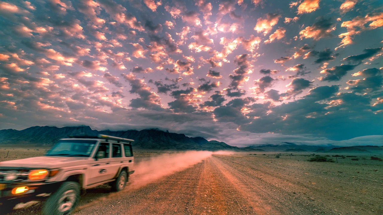
Most visitors never go below the rim, and the canyon still justifies the detour. Day visitors are admitted to the viewpoints between sunrise and sunset; Hobas sits ten kilometres from the main viewpoint and has a kiosk and a pool. Descent into the canyon is restricted to registered hikers, so the viewpoint is the visit.
At the southern end, Ai-Ais — “burning water” in Khoekhoegowab — has thermal pools built around the spring, a spa, chalets, river-view and mountain-view rooms and around a hundred campsites. Reported water temperatures vary between 40°C and 60°C, with the source itself said to exceed 60°C. The resort closes seasonally in high summer, when ambient air temperatures in this part of the country are reported up to 50°C.
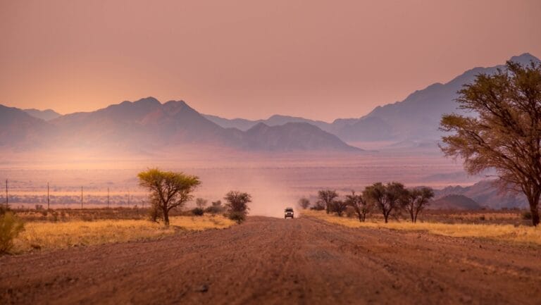
The whole area sits inside the /Ai-/Ais–Richtersveld Transfrontier Park, established by treaty on 1 August 2003 between Namibia and South Africa, joining the canyon and Ai-Ais to the Richtersveld across the Orange River. Reaching it means long gravel days, so it is worth knowing what Namibian roads are actually like and, for a hike this demanding in this heat, how to stay healthy on a Namibian trip. A seventeen-day classic route has the length to include the south rather than skipping it.
Namibia’s park entry fees rose on 1 April 2026, and secondary sources disagree about which tier Ai-Ais falls into — N$280 or N$200 per foreign adult per day. No official MEFT document confirming a post-April figure for this park could be found, so budget for the higher and confirm at the gate.

Frequently asked questions
When can you hike the Fish River Canyon?
Permits are issued between 1 May and 15 September only, according to Namibia Wildlife Resorts, which operates the trail. Outside that window the canyon floor is closed to hikers.
How long is the Fish River Hiking Trail?
Published figures disagree — 80, 85, 85–86, 86 and 88 kilometres all appear in print, and no exact official NWR figure could be found. Most sources agree it takes four to five days.
What are the requirements to hike it?
A minimum of three hikers in a group, a maximum of 30 people admitted per day, a minimum age of 12, and a medical certificate submitted at the Hobas office. One source states the certificate must be no more than 40 days old.
Was the trail affected in 2026?
Yes, twice. The season opening was pushed back about a week after NamWater opened Naute Dam’s sluice gates on 1 May 2026. Then in late June, 96 hikers in nine groups were caught by rising water and evacuated, with the last 28 airlifted out. Nobody was injured. The trail reopened on 17 July 2026.
Can you go into the canyon without hiking the trail?
No. Day visitors are admitted to the viewpoints between sunrise and sunset, but descending into the canyon is restricted to registered trail hikers.
Is Fish River Canyon the second largest in the world?
That claim appears in Namibian tourism material and even in Namibia’s own UNESCO tentative-list submission, but no source states the metric it is measured on. On depth, at around 550 metres, it ranks well below canyons such as Nepal’s Kali Gandaki Gorge. Treat it as a marketing line, not a fact.
Desert Tracks builds Namibian routes that reach the far south properly rather than treating it as a detour. Tell us what you want to do and we will plan around the season. Tell us what you want out of the trip rather than when you can travel, and we will tell you honestly whether your dates fit — including when the answer is that they do not. Get in touch with Desert Tracks.