Is My Namibia Itinerary Too Ambitious? What the Map Leaves Out
The most repeated question on the Namibia travel internet is some version of “is this too ambitious?” — posted with a day count and a list of places, on TripAdvisor and Fodor’s, several times a week. The answers are guesses. Here is a way to work it out.
Google Maps distances for Namibia are reliable; its drive times are not the whole story. On the gravel legs of the standard circuit its times imply average speeds of 63 to 86km/h — at the top end, faster than most rental contracts allow you to drive on gravel at all. Work from distance and the speed you will actually hold, not from the app’s arrival time., the dry winter. Rainfall is near zero, wildlife concentrates at Etosha’s waterholes, and roads are at their best. July and August are the peak — and the coldest, near 6 °C at dawn.
What the map says, leg by leg
These are Google Maps’ own figures for the fastest route, read on 12 September 2026, with the average speed each one implies. The last column is just distance divided by time — the speed you would have to hold for the entire leg, without stopping, to arrive when the app says you will.
Read the third column before the fourth. A B road is tar. A C road is maintained gravel. A D road is narrower and rougher. Three of these legs are routed largely or wholly on gravel, and those are exactly the ones where the map’s arithmetic starts to look optimistic.
The number that should stop you
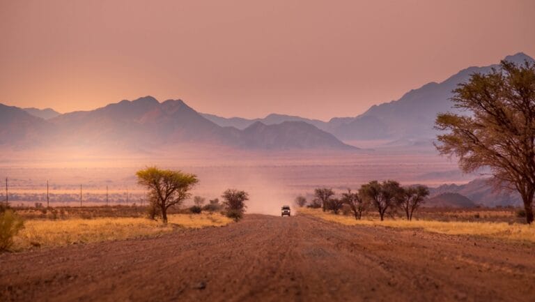
Look at Twyfelfontein to Okaukuejo: 342 kilometres in 3 hours 58 minutes, routed on the C39 and C38. That is an average of 86 kilometres an hour — on gravel, for four hours, without pausing.
Now read your rental agreement. African Tracks caps gravel at 80km/h, tracks it by GPS, and states that if the device shows you were over it after an accident, the excess waiver will not cover the damage — tyre damage from speed is on you either way. Savanna Car Hire tells renters not to exceed 80. Expert Africa calls 80km/h an absolute maximum on any gravel road and notes that most visitor accidents involve no other vehicle at all. The UK Foreign Office says the same in the rainy season and adds that most rental insurance excludes single-vehicle accidents.
Google is telling you how long the driving takes at the speeds it models. Your contract, your insurer and every operator in the country are telling you the speed you may actually hold. On the gravel legs those two numbers do not agree, and only one of them is enforceable against you.
How to work out your own day
Forget multipliers — you will see “double the Google time on gravel” repeated on forums and no one can show you the data behind it. Do the arithmetic instead. Take the distance. Divide it by the speed you will genuinely hold: call it 90 to 100 on tar and 70 to 80 on decent gravel, less on a D road. Then add your stops.
The stops are what actually breaks itineraries. A fuel stop, a park gate, a puncture, a sundowner photograph and a leisurely breakfast are each fifteen to forty minutes, and four of them turn a five-hour drive into a seven-hour day. Our guides to what Namibian roads are actually like and whether you need a 4×4 cover the surface itself.
The constraint nobody plans around: daylight
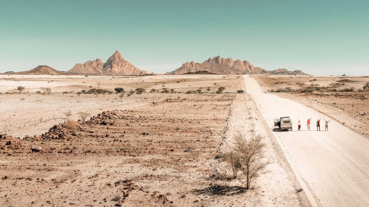
Namibia’s real driving limit is not distance, it is dark. Windhoek gets 10 hours 45 minutes of daylight at the June solstice — sunrise 07:30, sunset 18:16 — against 13 hours 31 minutes in December. That is nearly three hours of difference between a winter and a summer trip, and winter is when most people come.
Nobody should drive Namibian roads at night: unfenced livestock, kudu that jump into headlights, no lighting and no traffic to warn you. So the working day is sunrise to an hour before sunset, and in June that is about nine and a half hours including everything — breakfast, fuel, the gate, lunch, the photographs. A five-hour drive is half of it.
What this means for the itinerary you were about to book
Count your driving days, not your days. A fourteen-day route with eight driving legs is not a fourteen-day holiday, it is six days of being somewhere and eight of getting there. The fix is almost never to drive faster — it is to cut a place. Our note on how many days you actually need makes the same argument from the other end.
And the honest operator answer to “is this too ambitious?” is usually yes, and the reason is rarely the distance. It is that two nights somewhere means one full day there, and one night means none. If you would like us to look at a route you have drafted, that is what the self-drive planning side of this business does all day.
Where these numbers come from: the distances and times in the table were read off Google Maps on 12 September 2026 and the implied speeds are simply distance divided by time. The gravel-speed figures are quoted from the rental and operator sources linked above. We have not invented a correction factor, because nobody publishes one worth trusting — including us.
Frequently asked questions
Is Google Maps accurate for Namibia?
Its distances are fine. Its times assume you hold an average speed that on gravel is at or above what your rental contract permits — on the Twyfelfontein to Okaukuejo leg it works out at 86km/h, and most hire companies cap you at 80.
How much should I add to the map’s time?
We are not going to give you a multiplier, because no source supports one. Work it the other way: take the distance, divide by the speed you will actually hold, and add your stops. On gravel that speed is 70 to 80km/h at most.
What is the speed limit in Namibia?
Reported as 120km/h on tar, 100km/h on gravel and 60km/h in town. Note that the legal gravel limit and the speed your rental contract allows are two different things — hire companies commonly hold you to 80.
How long is the driving day really?
Shorter than you think in winter. Windhoek gets 10 hours 45 minutes of daylight at the June solstice against 13 hours 31 at the December one, and nobody should be driving Namibian roads after dark.
What is the single most common mistake?
Planning to arrive at last light. Every hour you lose to a puncture, a photograph or a slow gravel section comes off the end of the day, and the end of the day is when you are least able to afford it.
Desert Tracks builds self-drive routes in Namibia, and the overnight stops are where the honesty lives. Tell us what you want out of the trip rather than when you can travel, and we will tell you honestly whether your dates fit — including when the answer is that they do not. Get in touch with Desert Tracks.