Windhoek to Sossusvlei: Which Road, and Which Pass?
Most travellers drive the tarred B1 south to Rehoboth, turn west onto the gravel C24, and come down the escarpment on the Spreetshoogte or Remhoogte pass to Solitaire, where they refuel. The C26 over the Gamsberg is the road GPS often picks, but it is gravel almost all the way from Windhoek. The C19 through Maltahöhe suits travellers coming up from the south.
Windhoek sits on the central highlands and Sossusvlei lies far below them in the Namib, so every route has to cross the Great Escarpment somewhere. Which crossing you choose decides how much gravel you drive, how steep the descent is and where you buy fuel. This guide sets out the four ways down, with road numbers and sources, and the questions travellers keep asking on the TripAdvisor Namibia forum.
The four ways down the escarpment
Travel News Namibia names the C24 from the B1 at Rehoboth and the C19 from Mariental through Maltahöhe as the two routes travellers use most (Travel News Namibia). The other two options are variations: a choice of pass at the end of the C24, or the C26 straight out of Windhoek.
Road lengths and surfaces are from the Wikipedia articles on the C24, C26 and C19. Those are not official Roads Authority figures, so treat them as a guide. For what gravel driving is actually like, see our guide to Namibian roads, gravel and speed.
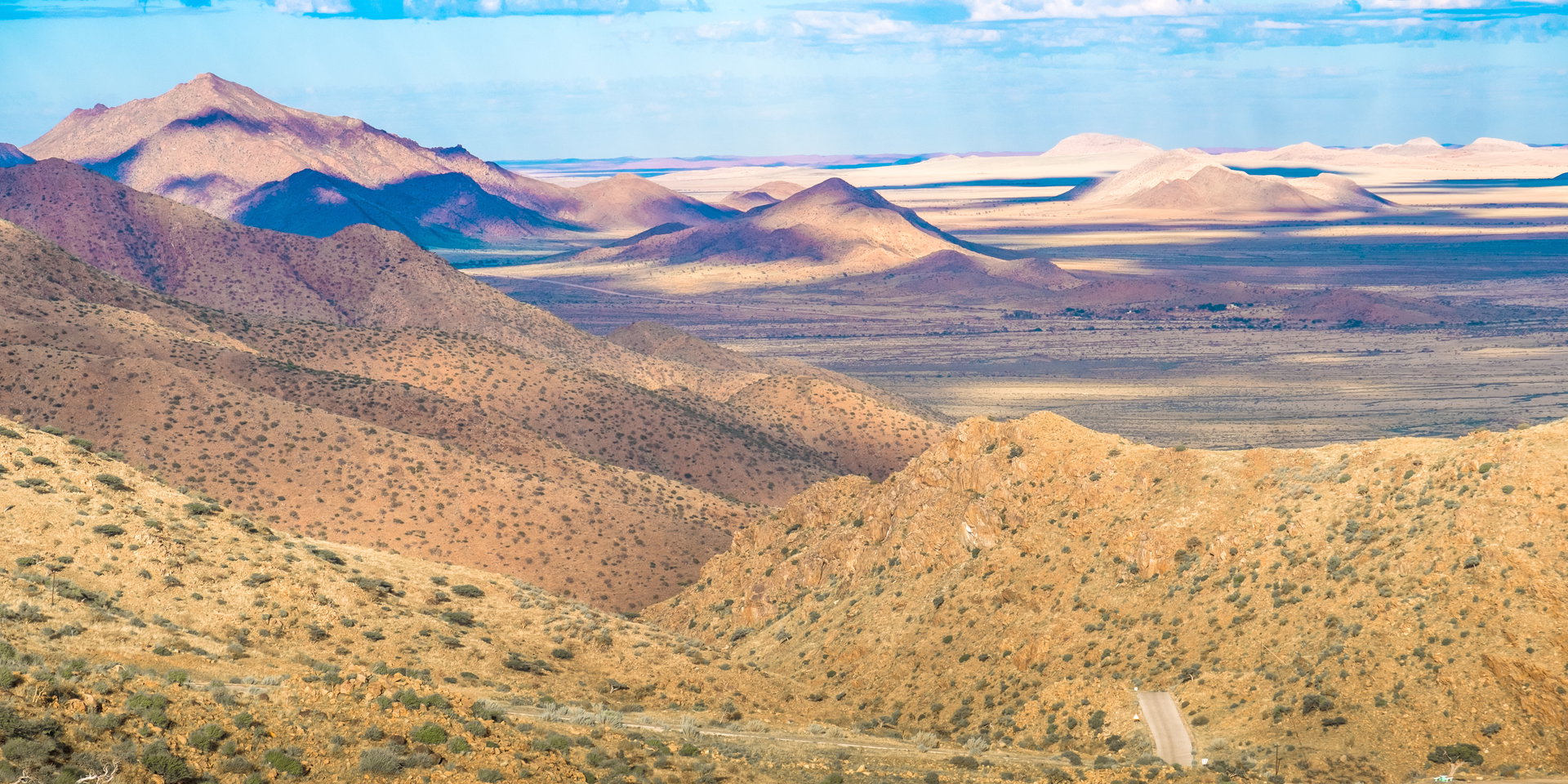
Spreetshoogte, and why trailers stay off it
Spreetshoogte carries the district road D1275 down the escarpment. Wikipedia gives its gradients as between 1:4.5 and 1:6, which makes it the steepest pass in Namibia, and says the road falls almost 1,000 metres within 4 kilometres from a top of 1,822 metres. Apart from a few interlocked paving sections it is gravel. Vehicles with trailers may not use it, and trucks and caravans are banned (Wikipedia). A sign on the pass recommends 20 km/h (Travel News Namibia).
Steep does not mean 4×4-only. On the forum, a traveller asked whether an automatic Hilux would manage it and was told yes, taken slowly, and another reply said there was no need to engage four-wheel drive. Several posters add that the pass is easier driven uphill, on the way back to Windhoek.
Why your GPS sends you over the Gamsberg
The C26 is the shortest line on the map, so navigation apps like it. It is 192 km long, untarred outside Windhoek, and climbs over the Kupferberg Pass at 2,050 metres before dropping down the Gamsberg Pass from 1,867 metres. Wikipedia recommends a 4×4 for tourists on it (Wikipedia), and Travel News Namibia describes about 10 km of Gamsberg bends.
Forum posters warn about this repeatedly. One traveller heading back to Windhoek found the GPS kept trying to route him over the C26 even though he wanted the C24. Several replies simply say to take the B1 and the C24 instead, and one sums it up as “beware of Google”.
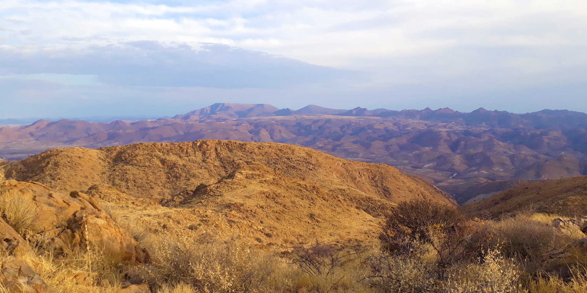
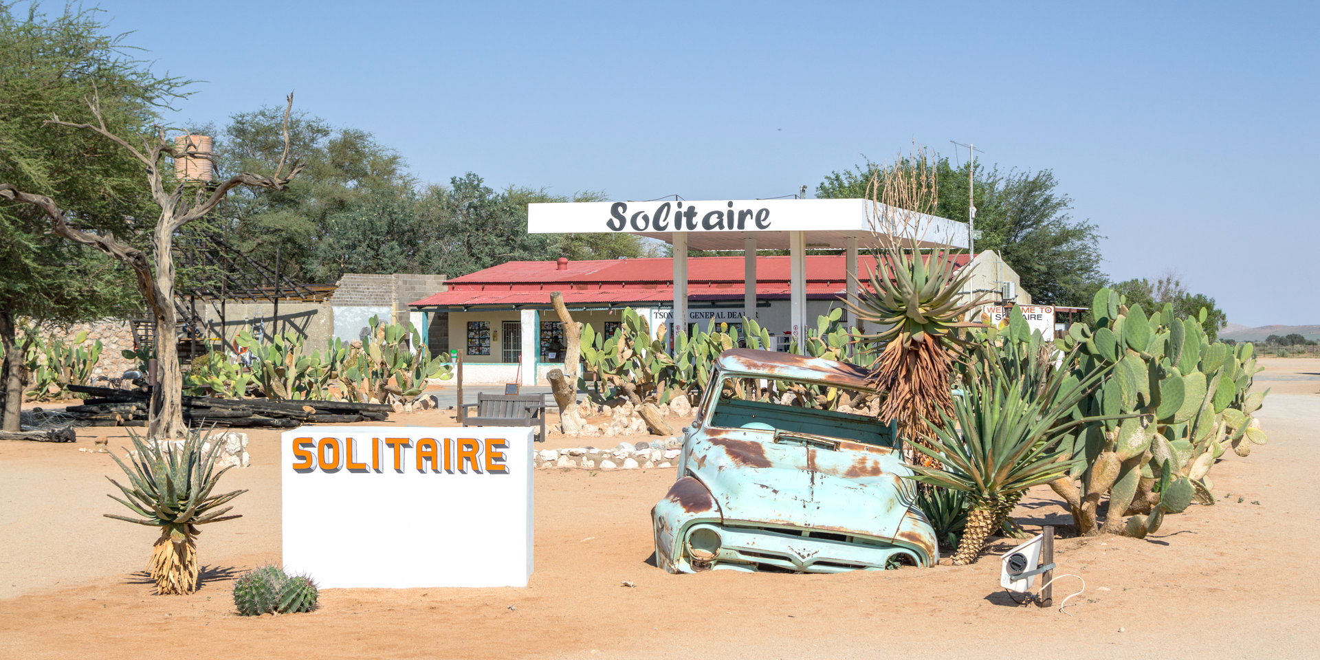
Solitaire, and fuel on this stretch
Solitaire is the fuel stop on every route except the Maltahöhe one. Travel News Namibia calls Sesriem the only other fuel stop in the area, and puts Sesriem 83 km from Solitaire, with a further 60 km to Sossusvlei itself (Travel News Namibia).
Do not rely on Sesriem without checking. In March 2025 the travel association ATTA listed the Sesriem campsite among NWR resorts affected by fuel shortages and advised planning stops in Solitaire or Maltahöhe (ATTA). Forum regulars give the same rule for the whole country: fill up whenever the tank drops below half.
Arrive in daylight. Most hire contracts treat driving after dark differently, which our guide to night driving and rental cover explains, and Sesriem gate times change through the year: see Sesriem gate times month by month. For your first morning in the dunes, see Big Daddy or Dune 45.
How long the drive takes
Porini puts Windhoek to Sossusvlei at 302 km and about 4 to 5 hours (Porini). That is one operator’s estimate. On the forum, the consistent advice is to add 25 to 33 percent to whatever Google Maps tells you, because gravel is slower than the app assumes. One traveller drove from Sossusvlei to Windhoek via the C14, D1275, D1261, C24 and B1 in under five hours and found the C24 well maintained but the D1275 rough.
Coming back to Windhoek
Forum advice is that Spreetshoogte is easier driven uphill, and the C24 is described as trouble-free. Hire contracts allow these roads: African Tracks, for example, permits only B, C and D roads and sets a gravel speed limit of 80 km/h (African Tracks). None of the hire firms Desert Tracks clients use bans Spreetshoogte, Remhoogte or the Gamsberg, but check your own contract. If you are starting or ending in the capital, see our Windhoek and central Namibia accommodation.
Frequently asked questions
What is the best road from Windhoek to Sossusvlei?
Most travellers take the tarred B1 south to Rehoboth, then the gravel C24 west, and cross the escarpment on the Spreetshoogte or Remhoogte pass to Solitaire. Travel News Namibia names the C24 route and the C19 through Maltahöhe as the two most used.
Do I need a 4×4 for the Spreetshoogte Pass?
Forum travellers say no: an automatic Hilux managed it taken slowly, and another reply said there was no need to engage four-wheel drive. The pass is steep, with gradients of 1:4.5 to 1:6 according to Wikipedia, and trailers, trucks and caravans are not allowed on it.
How long does Windhoek to Sossusvlei take?
Porini gives 302 km and about 4 to 5 hours. Forum regulars advise adding 25 to 33 percent to the time Google Maps shows, because gravel roads are slower than navigation apps assume.
Why does Google Maps send me over the Gamsberg Pass?
The C26 over the Gamsberg is the shortest line on the map. It is 192 km of gravel outside Windhoek with steep passes, and Wikipedia recommends a 4×4 for tourists. Forum posters advise taking the B1 and C24 instead.
Where can I get fuel between Windhoek and Sossusvlei?
Solitaire is the main fuel stop. Sesriem has had fuel, but in March 2025 ATTA reported the Sesriem campsite among NWR sites affected by shortages, so check before relying on it and refuel whenever your tank is below half.
Which route should I take back to Windhoek?
Many travellers return over Spreetshoogte, which forum posters say is easier driven uphill, then the C24 to Rehoboth and the B1. The C24 is described on the forum as trouble-free.
Can I tow a trailer over Spreetshoogte?
No. According to Wikipedia only vehicles without trailers may use the pass, and trucks and caravans are banned. Take the Remhoogte or Maltahöhe route instead.
Can I drive Spreetshoogte, Remhoogte or the Gamsberg in a hire car?
None of the hire firms Desert Tracks clients use bans these passes. Published contracts such as African Tracks’ allow B, C and D roads with an 80 km/h gravel limit. Check your own contract before you go.
Desert Tracks plans Namibia self-drive safaris from Swakopmund. Send us your travel dates and we will help you fit Sossusvlei into your route. Get in touch with Desert Tracks.